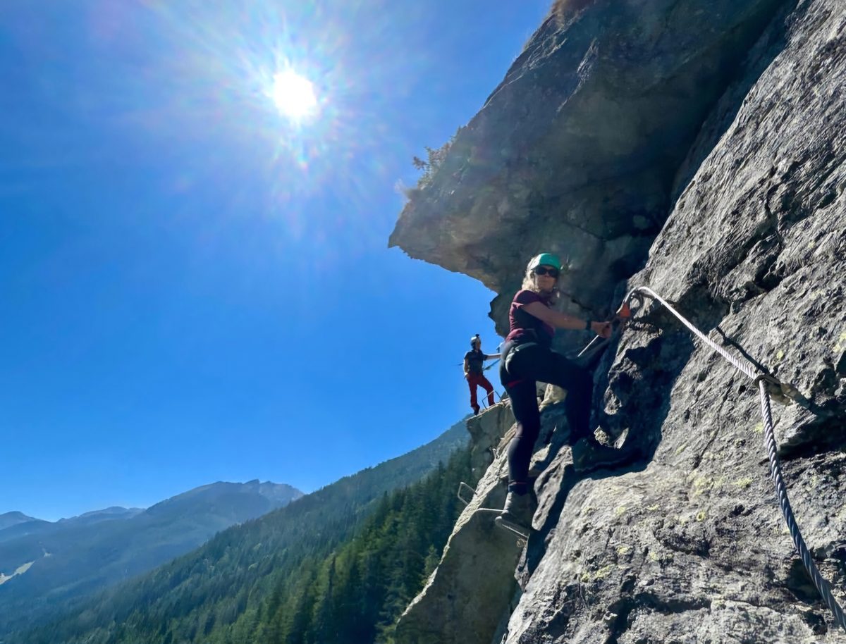
A via ferrata - Klettersteig in German, sentiero attrezzato or ferrata in Italian - is a route equipped with fixed cables, ladders, pegs or bridges, protected by clipping into the cable with a harness and an energy-absorbing lanyard.
It matters for hut-to-hut planning for one specific reason: a route can include a short wired section without being described as a via ferrata route at all, and a walker can arrive at it with no kit and no idea it was coming.
How rare are they, really
Across the 9,092 hut-to-hut legs we have measured in 13 regions of the Alps and Pyrenees, only 0.4% touch a via ferrata section at all - about 15 km of wire in some 176,600 km of walking.
So the honest answer is: very rare, and if you are planning ordinary hut-to-hut walking you will probably never meet one. But rare is not never, and the consequence of meeting one unprepared is severe, which is why it gets its own page.
The grading systems
There is no single international scale. Three are in common use and they do not map neatly onto each other.
The K scale (Austria, Germany, and increasingly standard):
- K1 - easy. Mostly walking with cable for reassurance, little exposure.
- K2 - moderate. Steeper, some exposure, cable used properly.
- K3 - difficult. Sustained, vertical sections, real exposure, arm strength needed.
- K4 - very difficult. Vertical to overhanging, strenuous.
- K5 - extremely difficult. Overhangs, sustained upper-body demand.
- K6 - extreme. Specialists.
The A-E scale (older, Italian and Austrian usage) runs A easy to E extremely difficult and corresponds roughly to K1-K5.
Italian classification often uses descriptive terms - facile, medio, difficile - alongside a distinction between an attrezzato path (a walking path with a bit of protection) and a true ferrata.
Guidebook grades also assume dry rock and good conditions. Wet limestone and a cable in a thunderstorm are a different grade entirely.
The honest problem with the data
When we detect a wired section on a route, the underlying open mapping data very often carries no grade at all. In that case the only truthful thing to say is "this route contains a chained or wired section, grade unknown", and that is exactly what we say.
We deliberately do not infer difficulty from length. A 30 m wire can be a genuinely serious geared pitch, and a 400 m cable can be a handrail alongside a broad path. Length tells you nothing about grade, and guessing would be worse than admitting we do not know.
What you need
For anything beyond a handrail on a wide path:
- A climbing harness
- A via ferrata lanyard - a Y-shaped set with a certified energy absorber. This is the critical item. An improvised sling is not a substitute and will not survive a fall.
- A helmet - rockfall from people above is the routine hazard, more than falling yourself
- Gloves - cables fray and shred hands
- Boots with a decent edge
Rental is available in most alpine valleys and is the sensible option if you meet one ferrata on a two-week trip.
Deciding whether to take one on a hut route
A K1 section on an otherwise ordinary day is usually fine for a confident walker with a head for heights, and is often the reason a col is passable at all.
Anything at K2 and above should be a deliberate choice, planned for, with the kit carried from the start of the day. You cannot decide at the foot of the pitch.
If the grade is unknown, treat it as unknown, not as easy. Ask the warden at the hut below it. They will know exactly what it is and how it is today.
Weather governs everything. A cable is a lightning conductor bolted to a mountain, and a via ferrata is a bad place in a storm. Alpine afternoon thunderstorms are the normal summer pattern, not an exception, so wired sections belong early in the day.
Consider whether you need it at all. On most hut-to-hut networks a ferrata section is one line among several between the same two huts. Filtering it out usually costs you time and height rather than making the night impossible.
What we do about it
HutScanner records via ferrata sections separately from walking difficulty, along with their length and their grade where the data has one. You can exclude routes containing them outright, and where a wired section has no recorded grade we label it as unknown rather than assuming it is easy.
The same applies to glacier crossings, which are a different hazard and get the same separate treatment - see the SAC hiking scale explained for how difficulty and hazard differ.
Routes are computed estimates over open mapping data, not surveyed trails. Check any route with fixed protection against a current guidebook and against local advice before committing to it. You book directly with each hut; HutScanner is a planning aid, not a booking service.